LiDAR Maps Ighiu & Necrilești
Study the hidden topography beneath the vegetation in Ighiu, Ighiel, Țelna, Bucerdea Vinoasă, and Șard directly from Google Earth Pro on your PC.
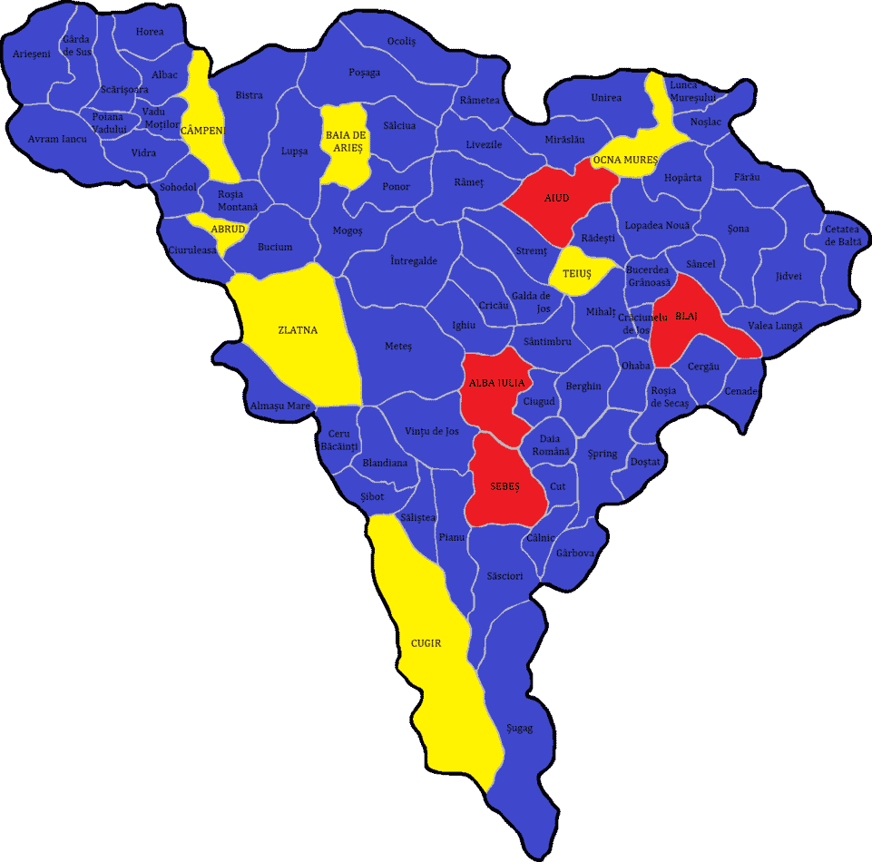
Ighiu Area Topography, Accessible to Everyone
The Ighiu municipality features a complex landscape with steep slopes, vineyards, and watercourses prone to flash floods. Standard Google Earth satellite imagery often fails to provide a clear perspective due to dense forest cover.
By importing LiDAR DTM (Digital Terrain Model) layers as geographically overlaid files, you can visualize the "clean" terrain. This fusion between the shaded 3D LiDAR map and the Google Earth Pro interface radically changes how you analyze the land.
Why use LiDAR in Google Earth Pro?
Ease of Use
Requires no expensive GIS software (like ArcGIS) or advanced mapping knowledge.
Adjustable Transparency
Overlay the LiDAR map on satellite imagery and adjust opacity to compare relief with vegetation.
Direct Measurements
Use Google Earth's ruler tools to measure perimeters and hydrological distances.
Archaeology & Detection
Identify terrain subtleties like ancient circular structures and hidden historic paths in forested areas.
Solutions & Technology B2B LiDAR
Geospatial Services
Tactical Industries
Advanced Topographical Solutions
Regional LiDAR Map
Află mai multe →Archaeological Scanning
Vizualizează →Viewer Platform
Lanseză →Technical Consulting
Contactează-ne →Precision topography services
We provide fast and accurate access to processed LiDAR data for architects, builders, surveyors, and researchers. Transform raw data into confident decisions.