LiDAR Maps Galda de Jos & Cricau
Get high-precision Digital Terrain Models (DTM), contour lines, and shaded relief maps for Galda de Jos and Cricau municipalities with accuracy under 0.5 meters.
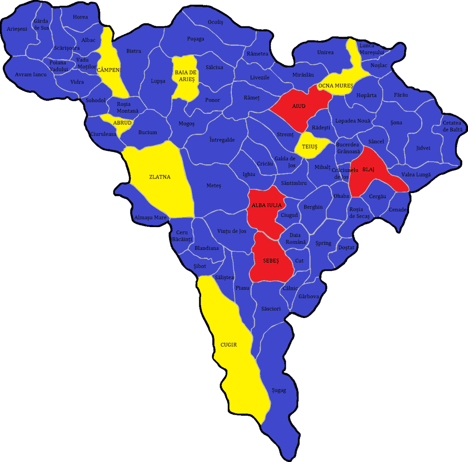
Topographic Analysis in the Trascau Mountains
Galda de Jos and Cricau are located at the junction of the Seca?elor Plateau and the Trascau Mountains. This rolling terrain, significantly covered by dense vegetation and forests, hides essential topographic details for land planning and heritage research.
Using our LiDAR (ALS) maps, you can "peel away" vegetation to study forest roads, landslides, and the hydrographic network in the Piatra Craivii area with a precision of 10-50 centimeters.
Common Use Cases
- ? Agriculture & Viticulture: Solar exposure and slope maps for vineyard planning.
- ? Archaeology: Non-invasive research in the area of the Dacian fortification at Piatra Craivii (Apoulon).
- ? Cadastre & GIS: Accurate catchment area mapping for General Urban Plans (PUG).
Data Extraction Galda de Jos & Cricau
We have access to the LiDAR point clouds for the entire Alba County. Send us your area of interest, and we will process a high-resolution Digital Terrain Model ready for import into AutoCAD, QGIS, or Google Earth.
Delivery time for municipal or parcel datasets is usually under 24 business hours.
REQUEST A QUOTESolutions & Technology B2B LiDAR
Geospatial Services
Tactical Industries
Advanced Topographical Solutions
Regional LiDAR Map
Află mai multe →Archaeological Scanning
Vizualizează →Viewer Platform
Lanseză →Technical Consulting
Contactează-ne →Precision topography services
We provide fast and accurate access to processed LiDAR data for architects, builders, surveyors, and researchers. Transform raw data into confident decisions.