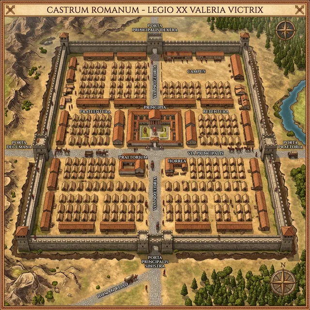
Roman Castrum Arutela
An iconic historical monument located in Caciulata, on the left bank of the Olt River. Guarding the Cozia pass, Arutela was an essential fortification on the border of the Dacia province.
Guardian of the Olt Valley: Strategic Importance
Built in 137-138 AD by order of Emperor Hadrian, Arutela Castrum served as a base for a unit of Syrian archers (Surorum sagittariorum). Flanked by the Cozia massif, its primary role was to monitor and defend the Limes Alutanus the fortified border stretching along the Olt river.
In today's modern topography, the partially reconstructed site is crossed by the Caciulata-Sibiu road. However, the great archaeological challenge lies in the Roman baths and the network of ancient roads, partially submerged by the Turnu dam or hidden by landslides on the slopes.
Why is LiDAR analysis vital for Arutela?
- ? Troop Supply Routes: X-raying the forested slopes of Cozia to detect traces of the Roman access road (via militaris).
- ? Civilian Settlement (Vicus): Identifying the layout of the settlement outside the fort, now completely overgrown by vegetation.
- ? Flood Risk Studies: Given the dynamics of the Olt river, Digital Terrain Models (DTM) help prevent the degradation of restored ruins like the Porta Praetoria.
Archaeological Site Protection
Arutela is listed in the National Archaeological Record (RAN). Metal detectors are strictly prohibited in the protection zone. Instead, the use of non-invasive LiDAR models represents the modern and legal method of prospecting for archaeologists and historians.
Order a Digital Terrain Model (DTM)
Are you documenting an archaeological discovery or conducting conservation work in the Olt basin? We provide essential LiDAR data for your research.
We digitally remove vegetation from the Cozia Massif to extract the exact terrain contour (Bare Earth Model).
REQUEST ARCHAEOLOGICAL LiDAR DATASolutions & Technology B2B LiDAR
Geospatial Services
Tactical Industries
Advanced Topographical Solutions
Regional LiDAR Map
Află mai multe →Archaeological Scanning
Vizualizează →Viewer Platform
Lanseză →Technical Consulting
Contactează-ne →Precision topography services
We provide fast and accurate access to processed LiDAR data for architects, builders, surveyors, and researchers. Transform raw data into confident decisions.